Nhn West Side Trout Creek Road | Superior
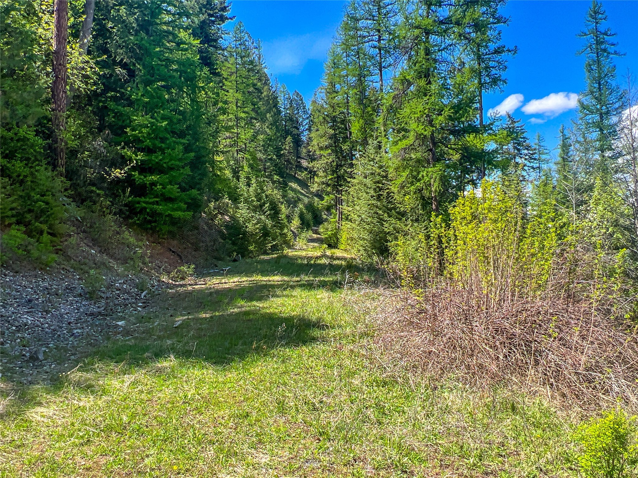
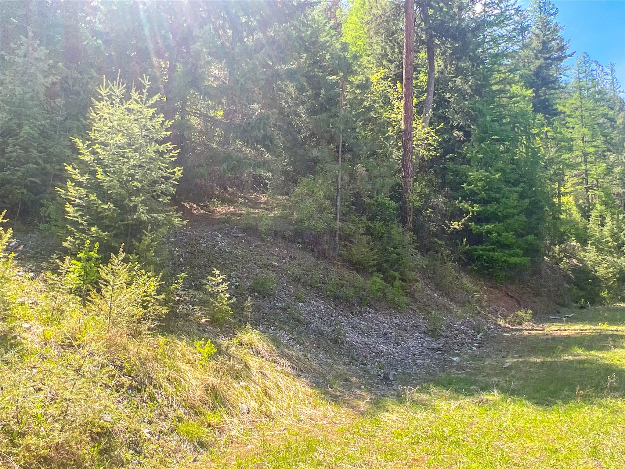
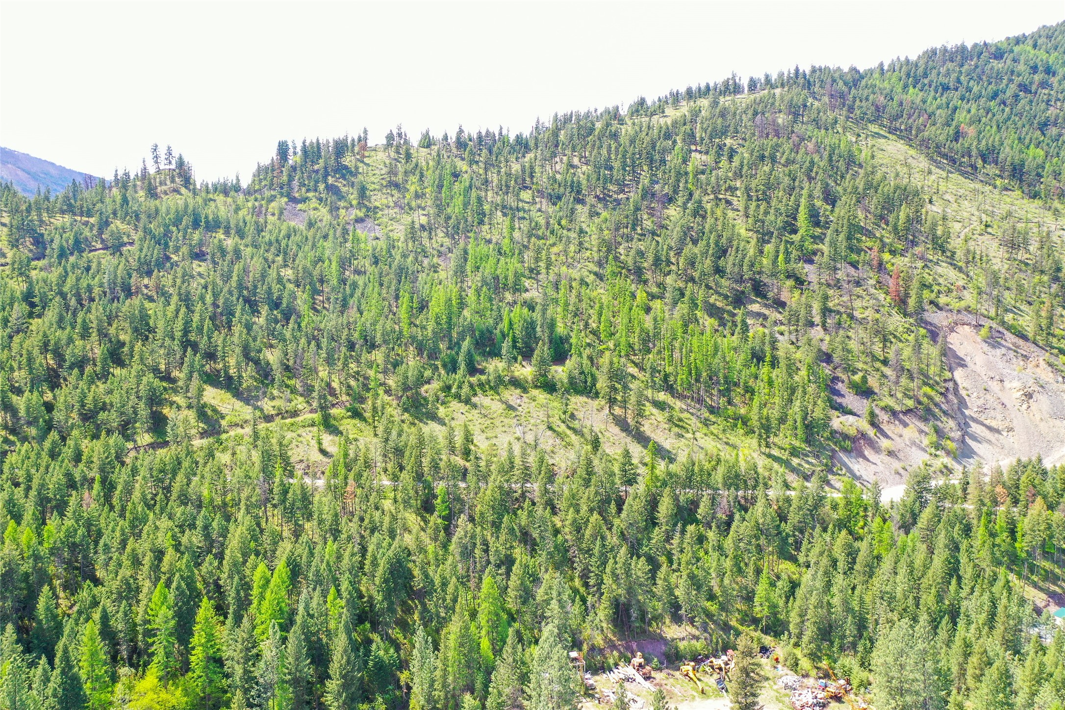
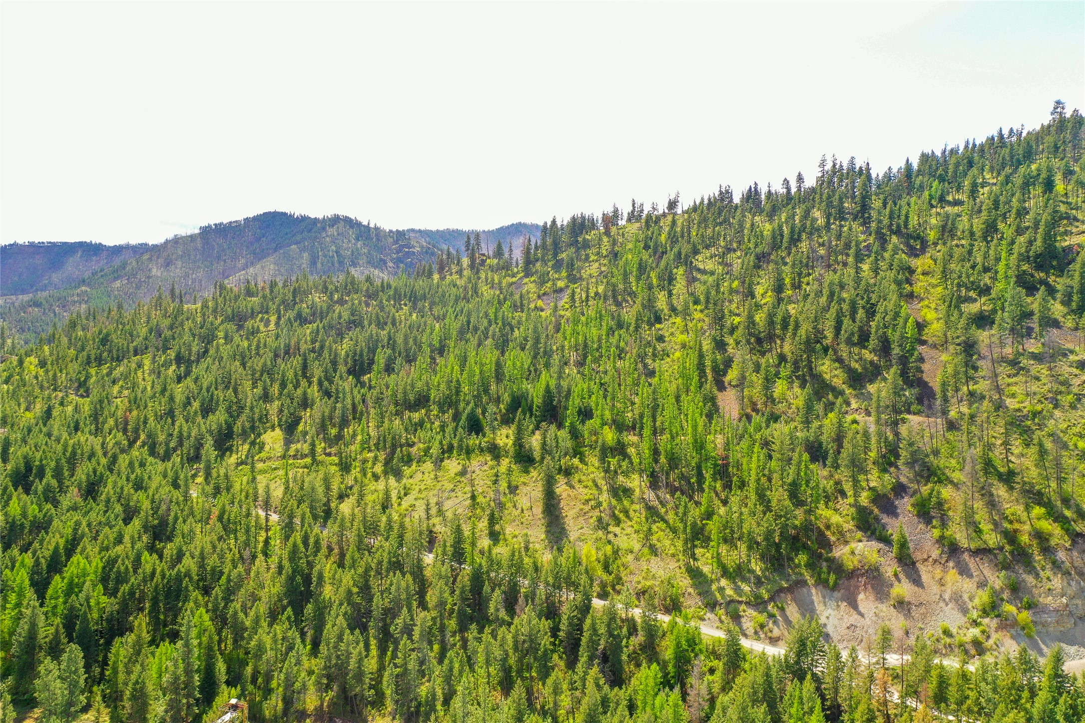
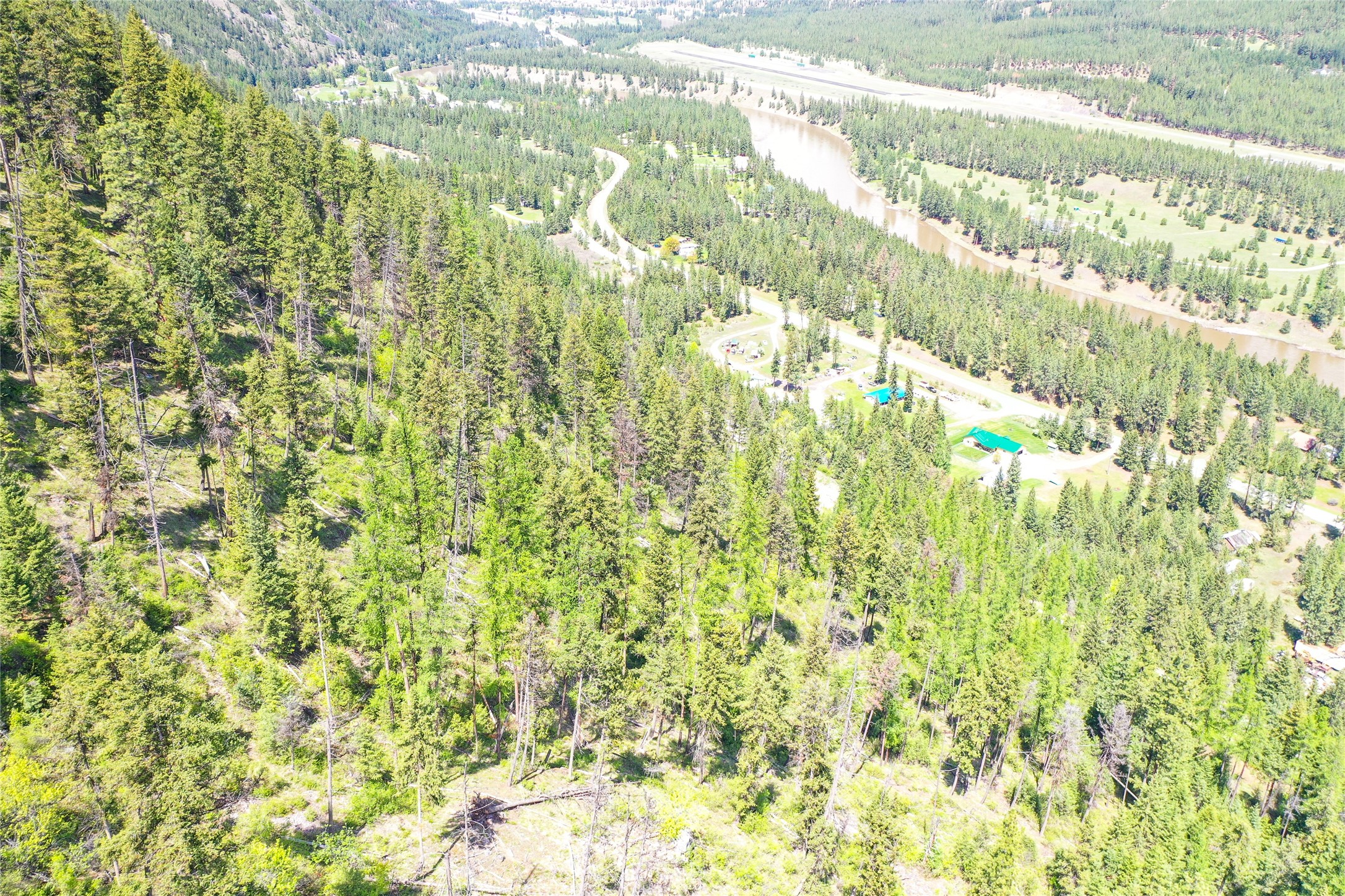
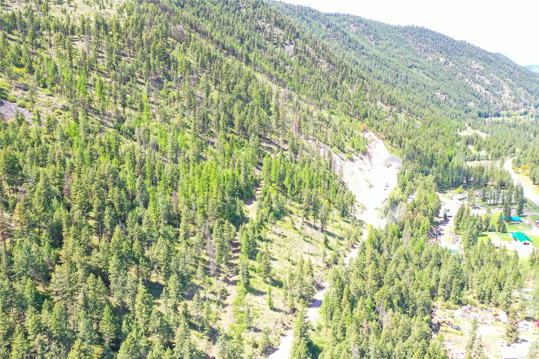
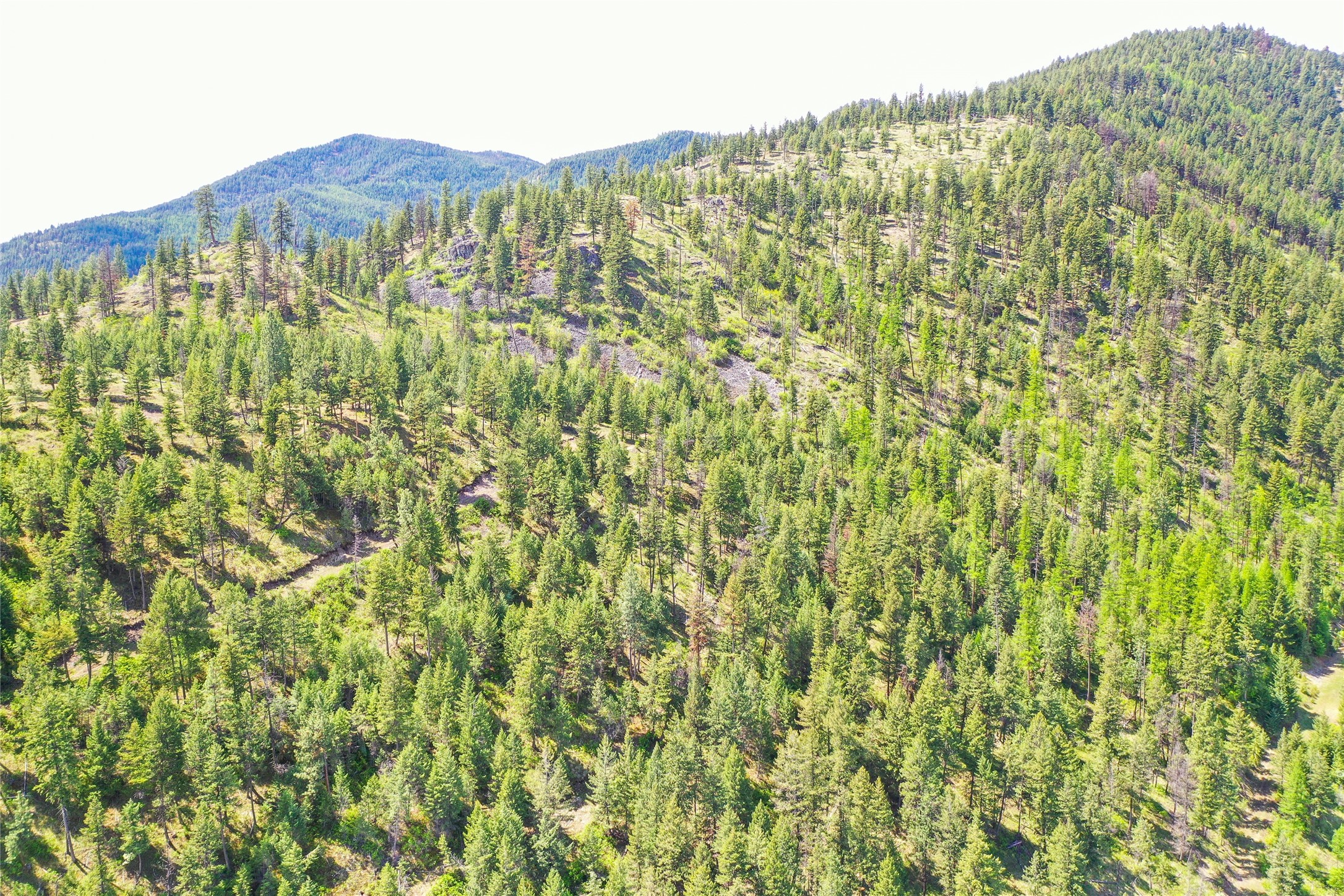
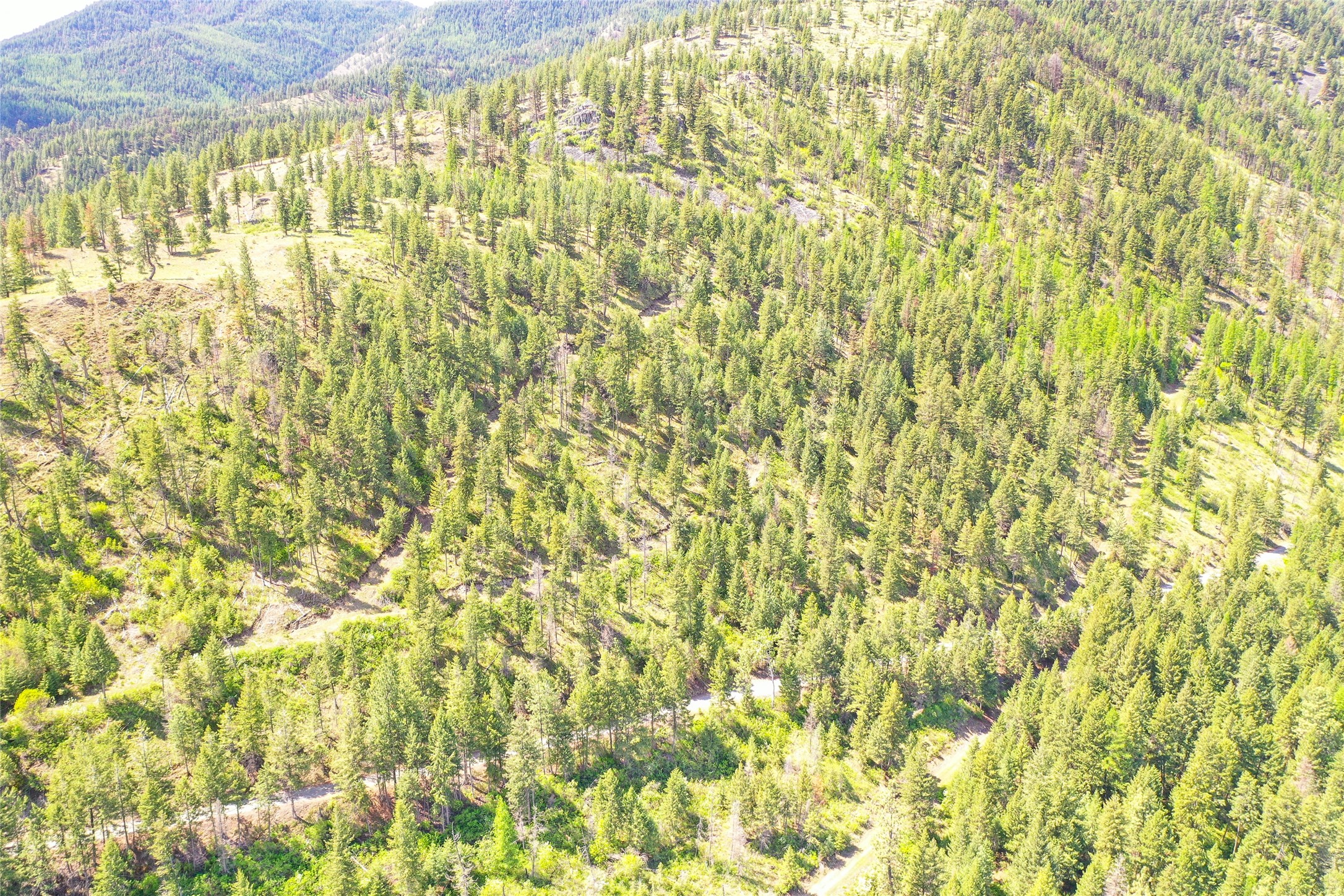
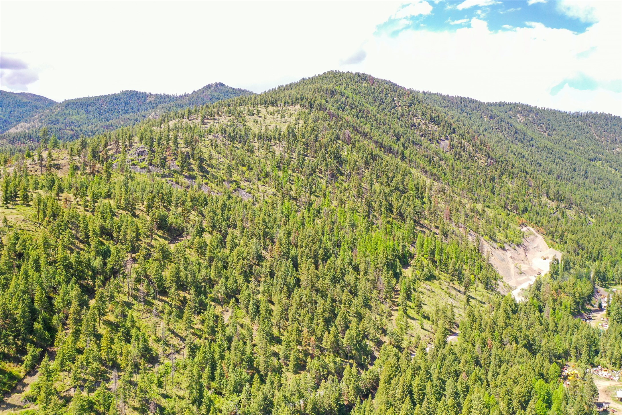
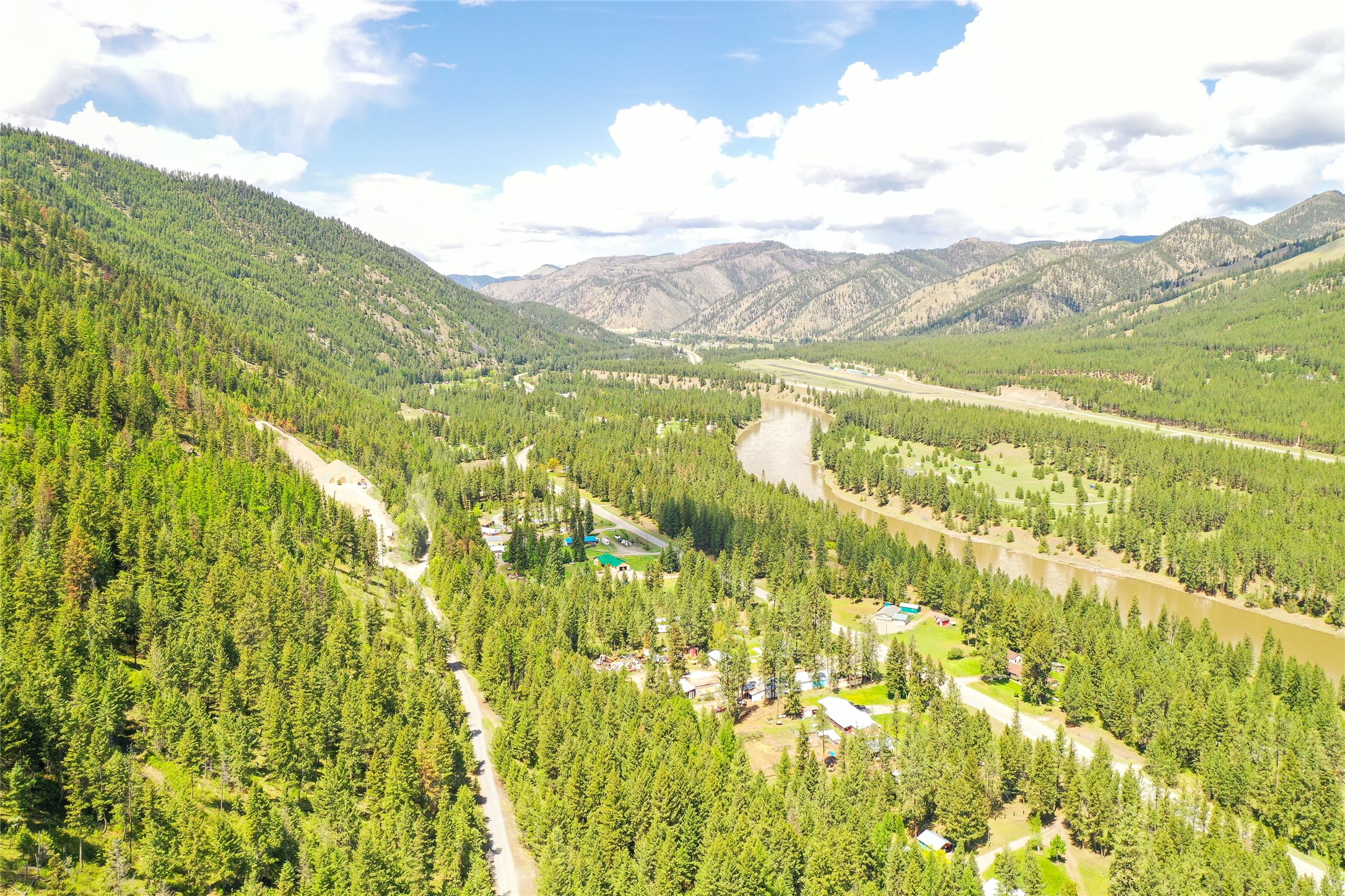
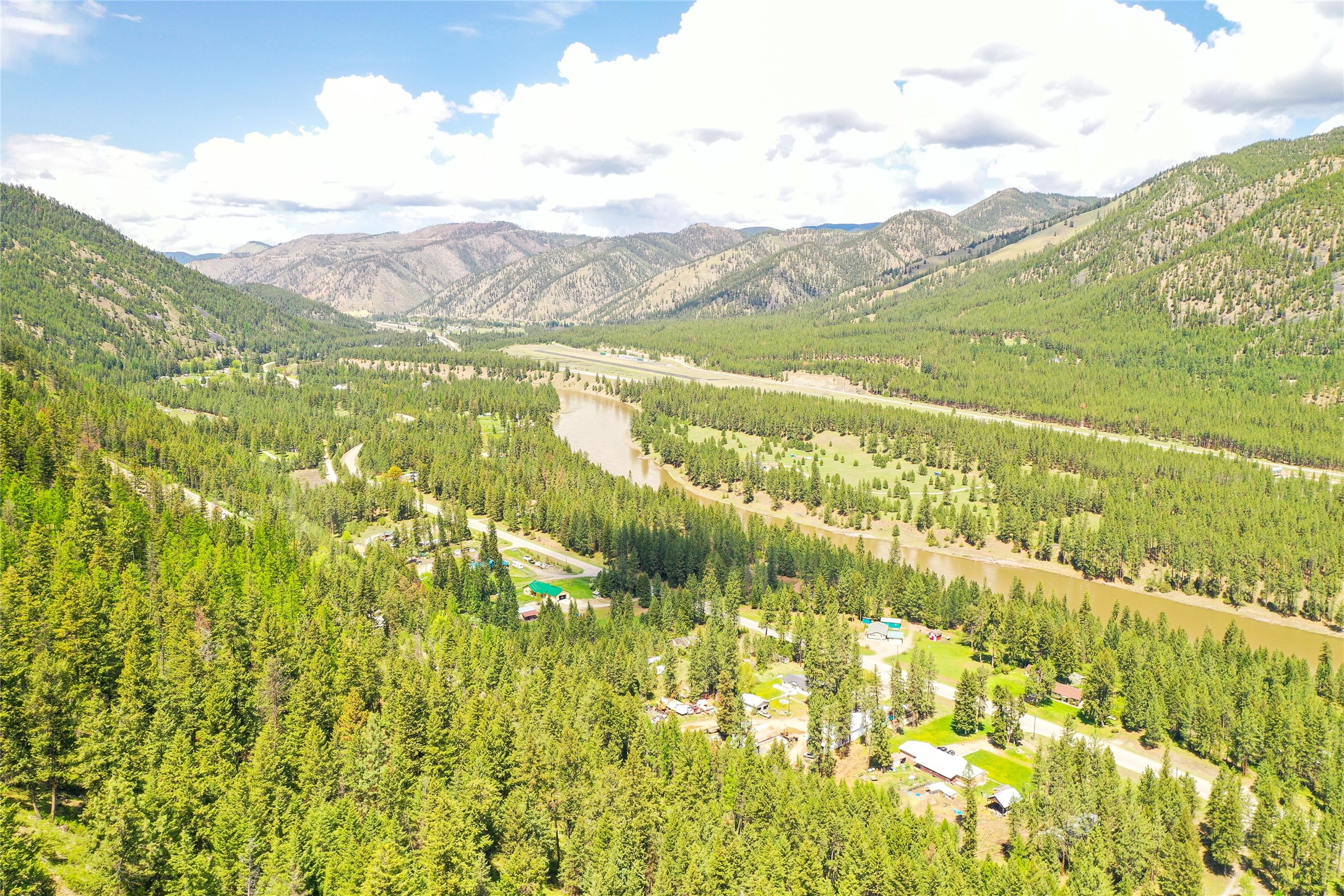
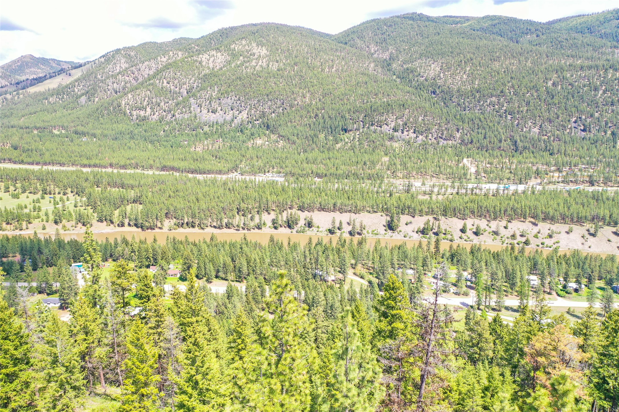
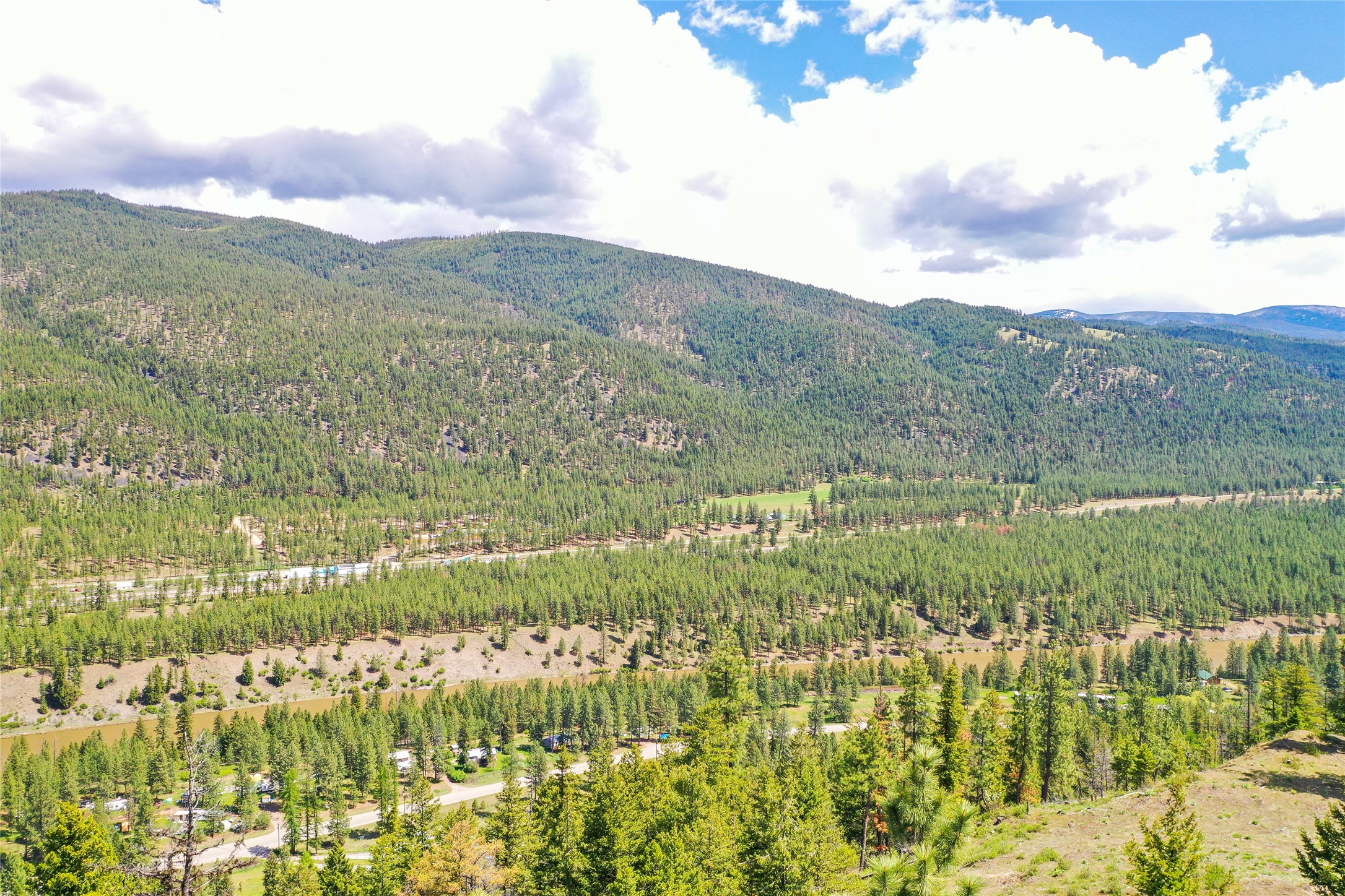
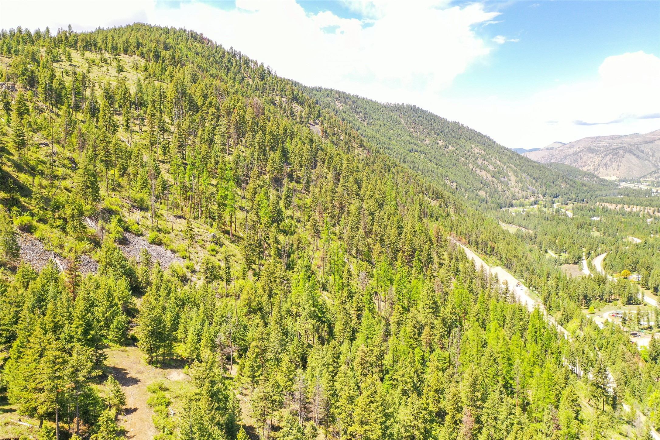
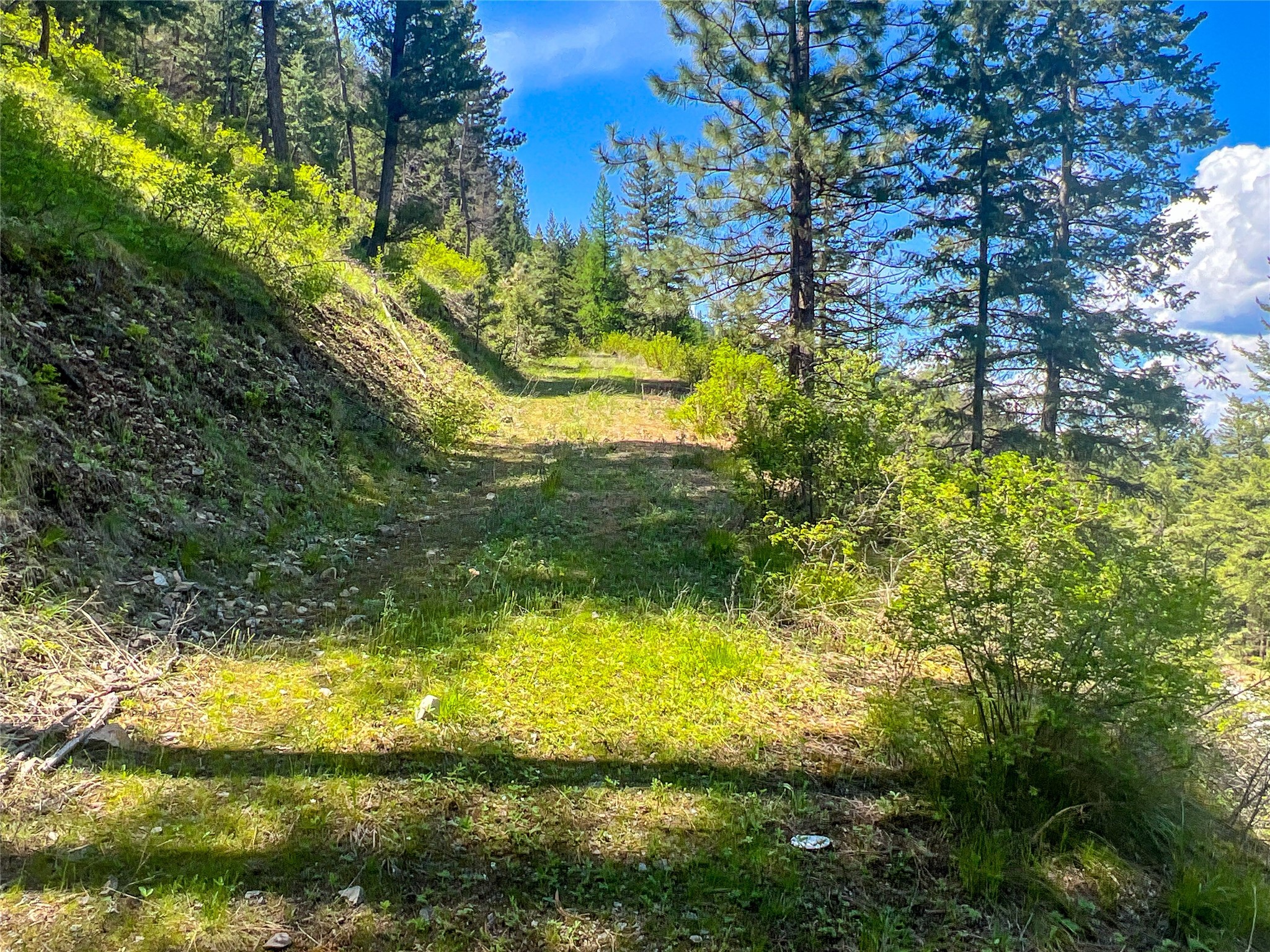
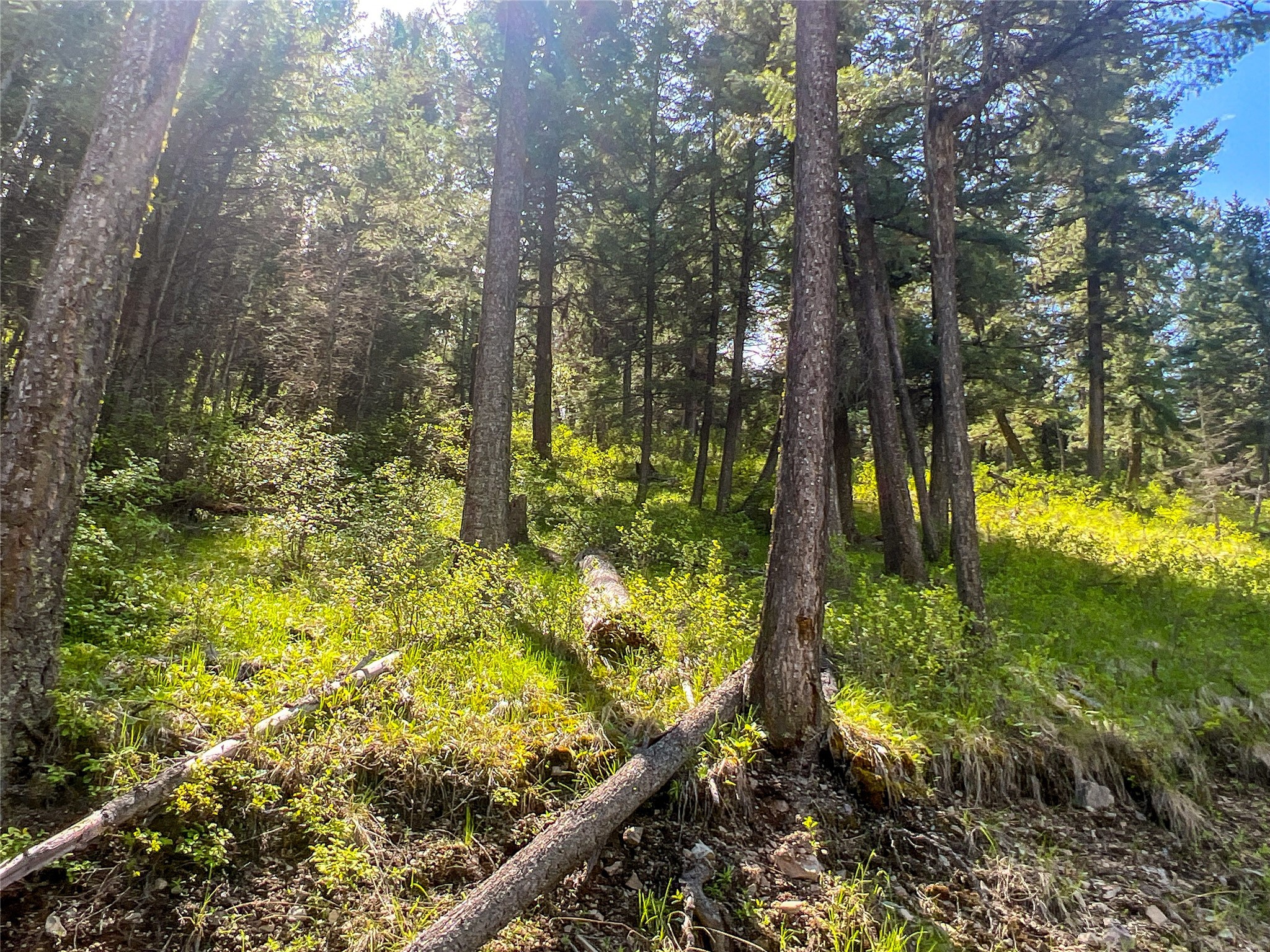
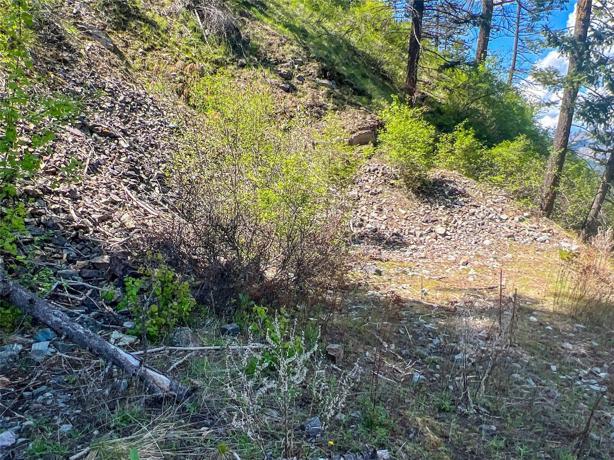
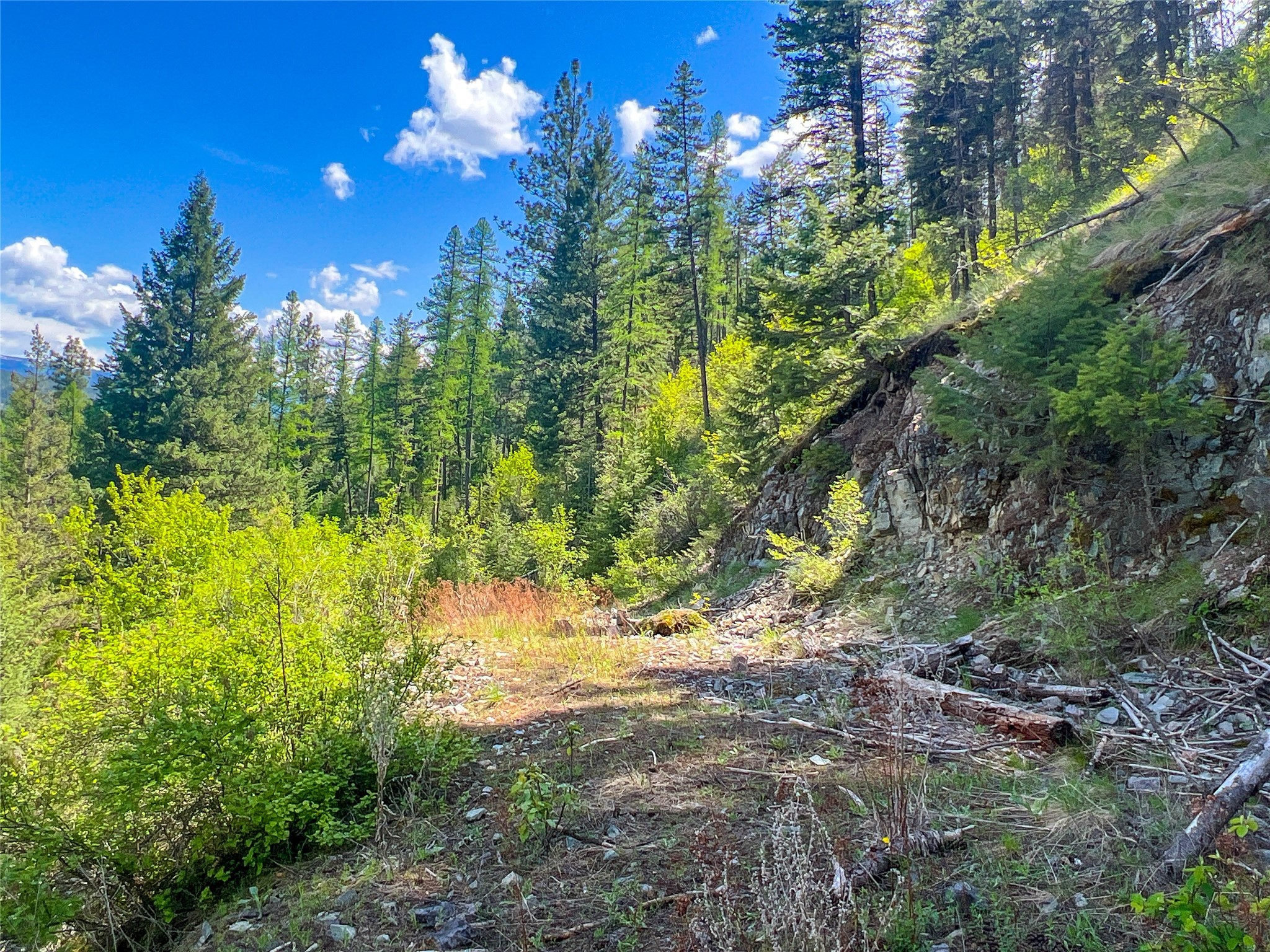
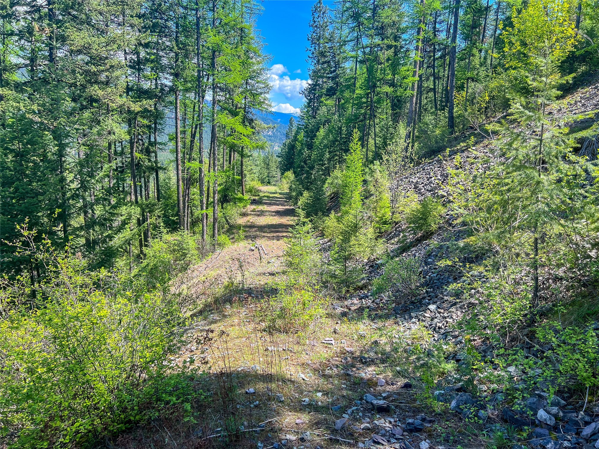
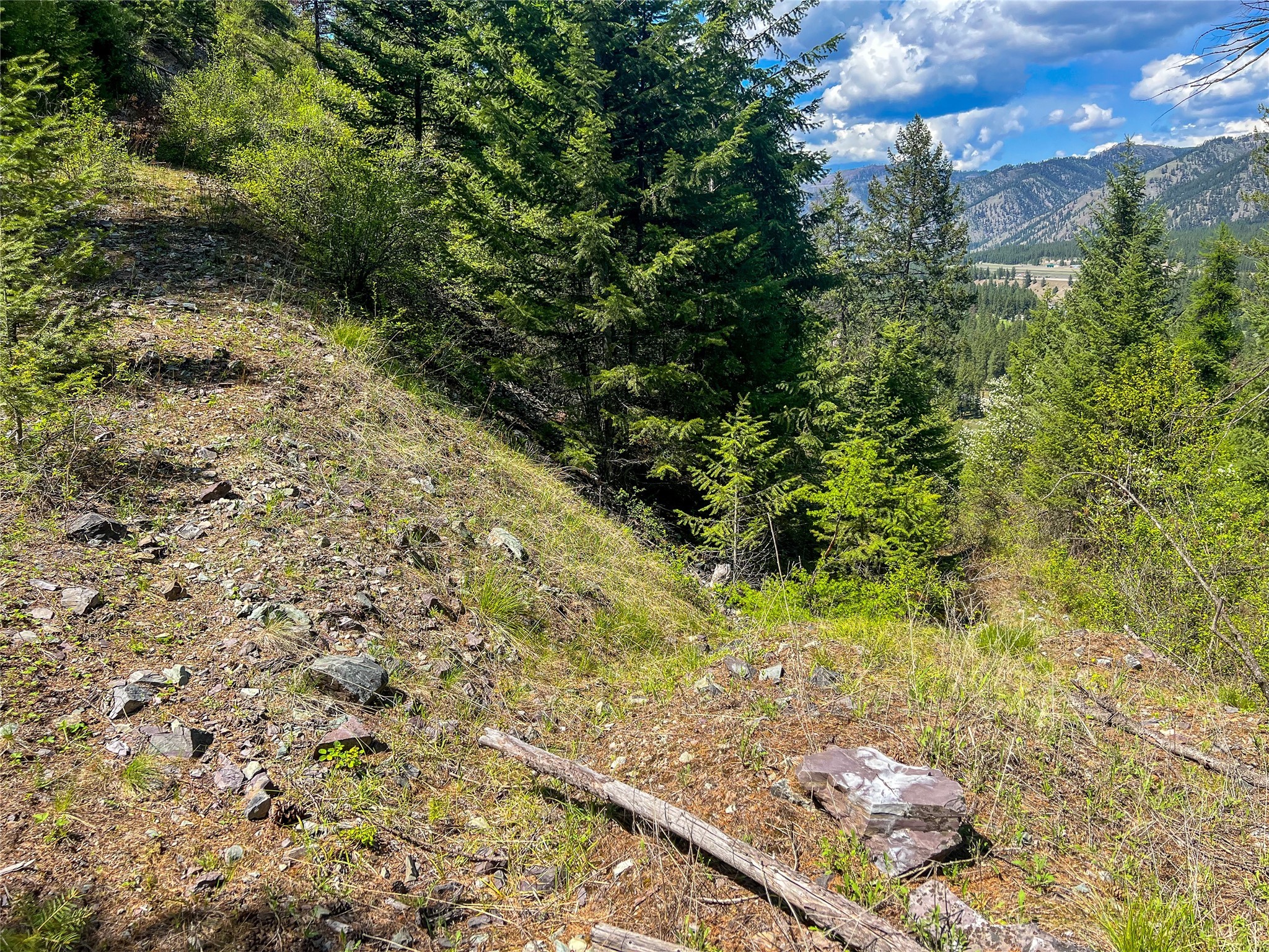
"Seller is open to Owner financing and is flexible with terms of that contract. Please reach out for more details" Located within an hour from Missoula which holds amenities of a major airport, hardware, grocery, breweries, entertainment and such. This parcel has great off grid potential but also has power at the adjacent land owners to the south. The local town of Superior which is just a 10 min drive away has all your basics as well with the county hospital located there with basic amenities of cafe’s, grocery, hardware, fuel and napa auto parts. This parcel is cornered by Lolo National Forest Service lands which allows Montana’s a place to explore, camp, hike, hunt and all other forms of recreation. West Side Trout Creek Rd allows access to the property and to the forest service lands from your back door. The Trout Creek Drainage also has road access that can take you all the way into Idaho depending on the season. This parcel boasts views of the Clark Fork River and the valley with a west to east vantage. Local wildlife consists of deer, elk, bear, turkey and an abundance of bird watching. The parcel does have a road cut in that goes across the property east to west. This is a good starting point to deciding where you’d want to build that mountain style home or cabin. MTR 30022834
Directions to property: From Superior: Head South East on Diamond Rd for 3.4 miles. You'll pass the Town Pump on your left as you head out of town. Turn right on West Fork Trout Creek Rd and drive .6 miles. The property begins right after the gravel pit.

